Case Study: Environmental Mapping for EIA Projects
Producing a large-scale Environmental Impact Assessment (EIA) is an immense effort, spanning months or even years. The landscape is often unknown, and specialists are met with the daunting task of mapping and measuring its features for quantification, diversity, and uniqueness. Yet, Environmental Impact Assessments (EIAs) are a core part of responsible development, and like it or not, they ensure that new projects meet both environmental expectations and compliance obligations.
For Armitage Environmental and Social Consulting (AESC), a consultancy that delivers environmental and social services across Africa, success means more than just ticking a box. Their ability to deliver high-quality EIA reports relies heavily on detailed, practical maps and advanced field survey and mapping tools, which support informed decision-making in alignment with international standards such as the IFC Performance Standards and World Bank guidelines.
AESC supports clients in the mining, energy, and infrastructure sectors. To do so, they need premium mapping services to support their scientists, field teams, and corporate mapping requirements. Over the last eight years, GeoGoose has worked closely with AESC to support them with reliable, purpose-built mapping and geospatial tools tailored to each project’s needs.
The Challenge
Many of AESC’s project sites are vast and remote. Mapping solutions need to be technically sound but also easy to use in the field- especially when time and accuracy are critical. Project requirements are broad, and our partners rely on GeoGoose to:
Prepare them thoroughly with detailed desktop analysis. Field teams have a tough job, but being prepared makes navigating rough terrain easier.
Enable them with easy-to-use mobile tools to accurately map, collect, tag, and organise environmental site data. Enabling them to perform accurate, complete, and comprehensive audits of all the biophysical and heritage features across the landscape
Produce ways for them to visualise and layer complex data clearly for use in reports, presentations, and public consultations. Giving them everything they need to deliver top-notch reports with professional, clear maps to meet regulatory requirements.
In short, there is no room for approximation. The environmental, financial, and reputational stakes are too high to risk outdated tools or generic maps.
The Solution: Field-Integrated Environmental Mapping
GeoGoose works closely with environment and social specialists to create a flexible mapping workflow that serves both data-heavy reporting and day-to-day fieldwork.
What does this look like in practice?
It means integrating GIS data layers with mobile tools that enable specialists to capture what they need, when, and where they need it. It means delivering maps that look clean in a report but carry the depth needed to support regulatory decisions. And it means working behind the scenes to make sure the tech is solid, the detail is there, and the outputs make people’s jobs easier and more efficient.
Mapping solutions include:
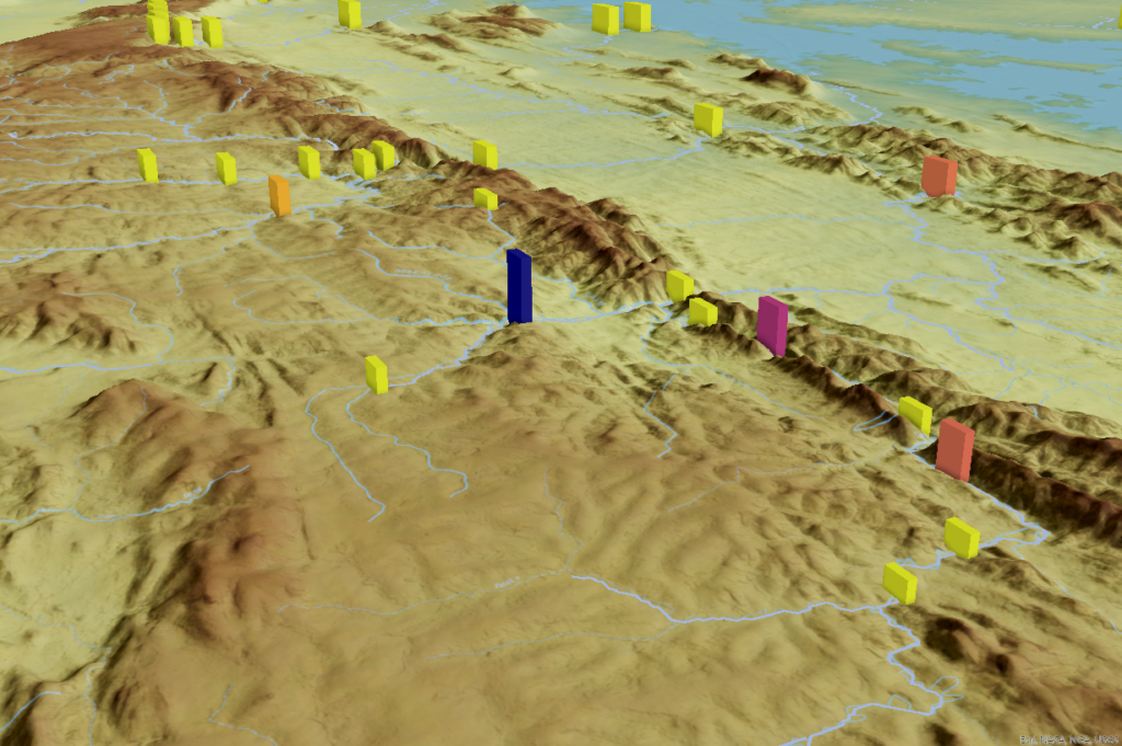
- GIS mapping and data extraction of all key environmental elements for EIA reporting. This ranges from surface and groundwater to land use, vegetation analysis, measurement of biodiversity, and identification of sensitive and protected areas.
- Overlays of regulatory datasets, including protected areas, species of significance and biodiversity hotspots – giving projects a clearer environmental context at national and global levels.
- Production of maps in various forms, from paper-based maps to multi-page map books and even map-driven storyboards, makes it easy to share, collaborate, and review detailed plans.
- Mobile mapping tools for field teams, with features that allowed them to record and tag field observations with photos and GPS coordinates, visualise proposed infrastructure layouts on location, and sync everything directly into the main mapping database.
The days of juggling with printed maps, hand-written notes, and disconnected data sources are gone. Now, we have an integrated system that works just as well in the field as it does at the boardroom table.
The Outcome
With GeoGoose’s support, AESC uses a streamlined system that adapts to the needs of each project, helping them to:
- Cut down time spent on managing data.
- Improve the accuracy and reliability of field data.
- Improve collaboration across field and office teams.
- Anticipate environmental red flags earlier, making the review process smoother and more proactive.
- Submit clear, cohesive maps that support the credibility of their environmental reporting.
These projects demand more than off-the-shelf solutions. With every site presenting unique environmental conditions and regulatory expectations, the solutions have to be adaptable, precise, and built for purpose.
By delivering customised mapping support from planning to submission, GeoGoose helps ensure that environmental submissions are not only accurate and efficient but also decision-ready.


