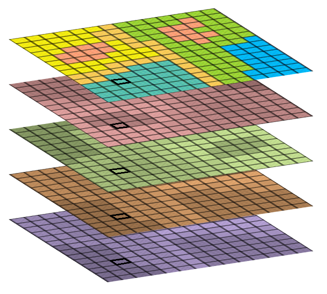
- GeoSpatial Modelling
- Site Selection Models
- Data Analytics and Enrichment
- Map Based Apps
- Online Maps
- Mobile Maps
- Smart Data Collection Tools
- Smart Survey Forms
- Collector (Map and GPS)
- Geospatial Dashboarding
- Scientific Maps
GeoSpatial Modelling
Site Selection Modelling
Used to find “the best site possible” for given criteria, our models provide a way to find the most suitable site within a given area. Results are data driven, and defendable. Client provided search criteria are run against multiple geospatial datasets to which various scores, weights and buffers are applied. A resulting cost surface is generated and converted into site options.
USE CASE: Find the most suitable piece of land for a new waste dump within Western Province
Inclusion/exclusion criteria: the new site must be at least 10ha in size, must be within 500m of power supply, have a slope <3 degrees, must not have a catchment area >50sqkm, must be more than 5km away from any protected areas and should have an established town within 10km.
Scoring: the further away from settlements the better.
Weighting: sites > 20ha and those that have perennial water supply are preferred
Data Analytics and Enrichment
Models allow us to transform data into usable information, providing insights to your business. By integrating non-spatial data with your geo-located information, we enhance the information you have to answer questions such as “how much and where”. GeoGoose has access to a wealth of environmentally significant datasets and uses these to provide regional context and provide measurement against regulatory restrictions.
Map Based Apps
Online Maps
- GIS as an online service (no software required)
- Accessible to you where ever you are
- Your own GIS maps with capabilities to turn layers on/off, zoom in/out etc
- Ability to embed maps in other content
Mobile Maps
- Fully integrated with Online Maps with Real-Time updates.
- No need to buy hardware, our set of smart phone tools allow us to quickly and easily get your mapping on your mobile phone, just download the app and off you go.
- Let us upload your concession boundaries or proposed new areas and information onto a map, and as you walk on the ground you can see where you are in relation to infrastructure plans.
- Measure distances and mark locations on the fly and have it all ready for when you return into office.
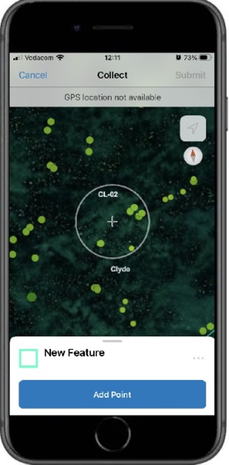
Smart Data Collection Tools
Tools for smart phones, no tech required. We provide two types of geospatial data collection tools: Smart Surveys are used to collect observation/interview data when multiple fields of information are required. Collector is used to predominantly record spatial/GPS information.
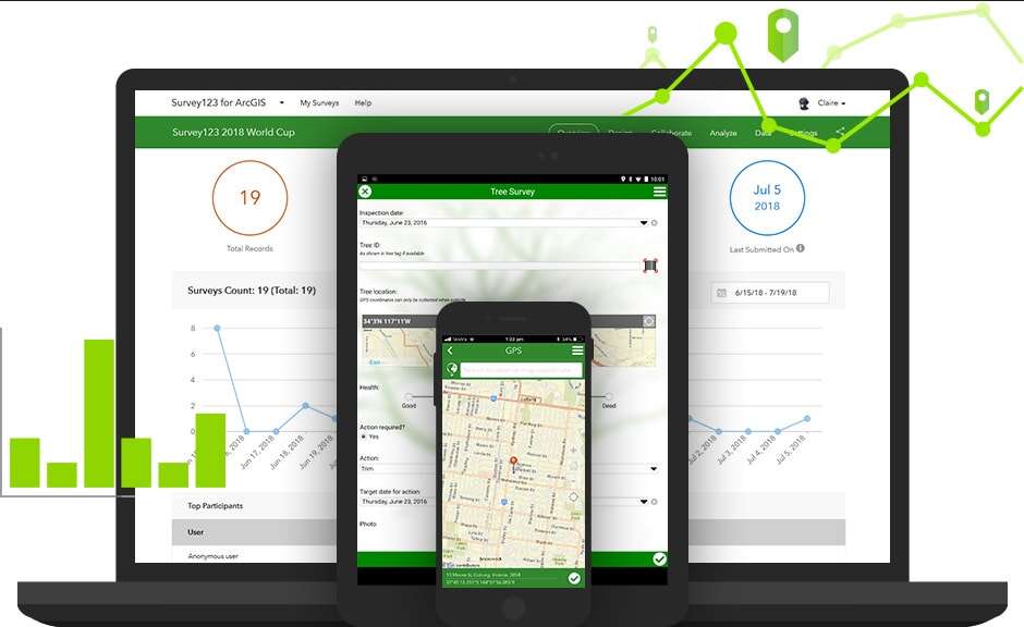
Smart Surveys
- Design a survey form with built in rules and conditions, set up multiple choice answers, take a photo and record the location of survey.
- Have metrics calculated from your inputs and then get the interviewee to sign their signature in confirmation.
Collector
- Use your mobile phone to record the route you are walking along or the boundary line of an area that you wish to calculate the hectares of.
- Have the ability to mark point locations of new infrastructure as you measure distances and record observations live on site.
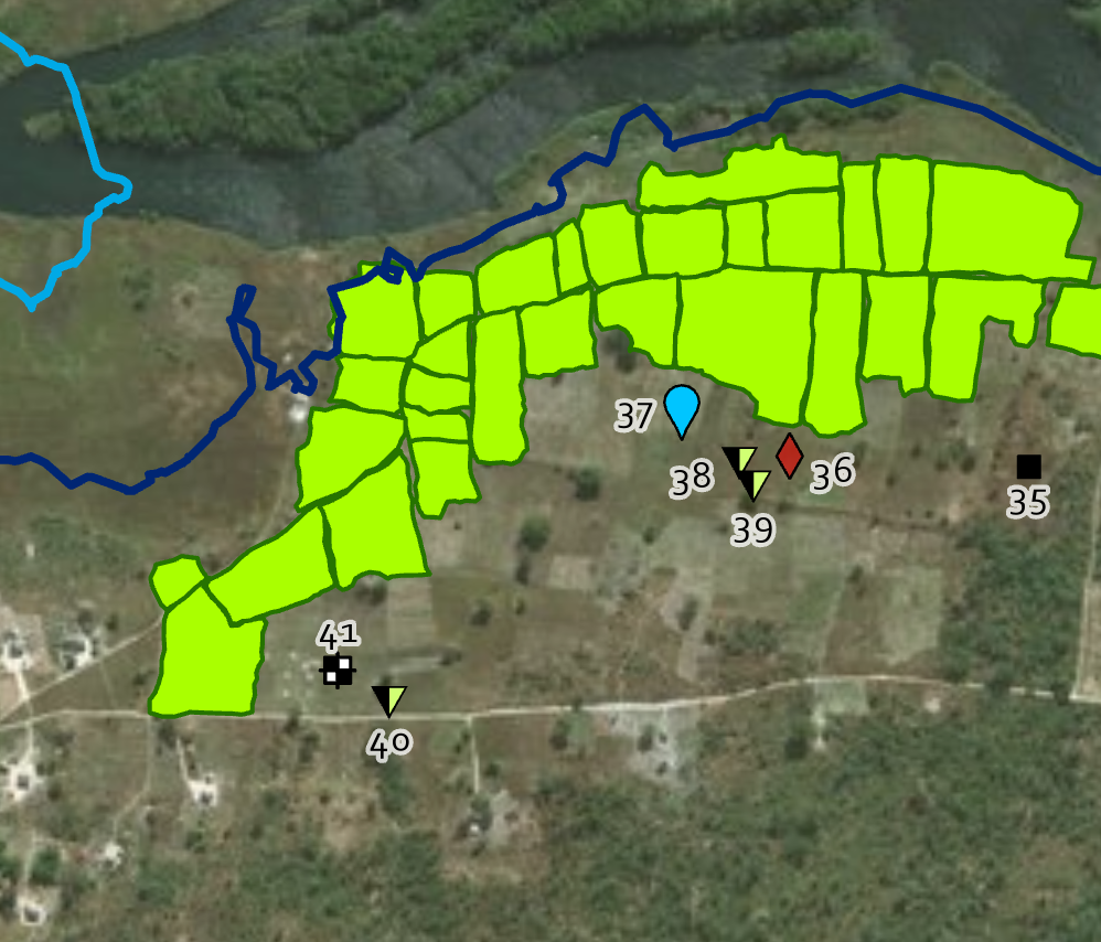
GeoSpatial Dashboarding

Dashboards
- Interactive map-based dashboards empower you to interrogate your geospatial information, find insights and discover trends in your data.
- All statistics, graphs and filters update as you zoom and pan around your map to reflect metrics relevant to the map area currently displayed.
- Get to know your data and how it changes both spatially and over time.
- Use indicators to flag certain conditions and aggregators to report performance metrics.
Scientific Maps
Professional map production:
- Project information (Logo, Title, Project Name, Reviewers, etc)
- Cartoraphic information (grid, projection, scale bar, north arrow, etc)
- Map information (Legend, Index Map, etc)
Maps are offered as stand alone maps in any page size required (A5 – A0) or alternatively as fully indexed and spatially correct mapbooks.